

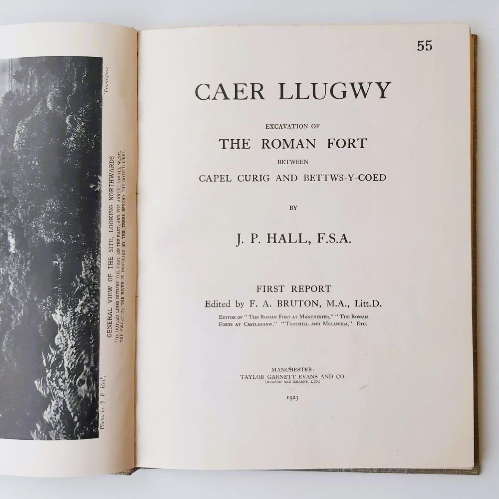
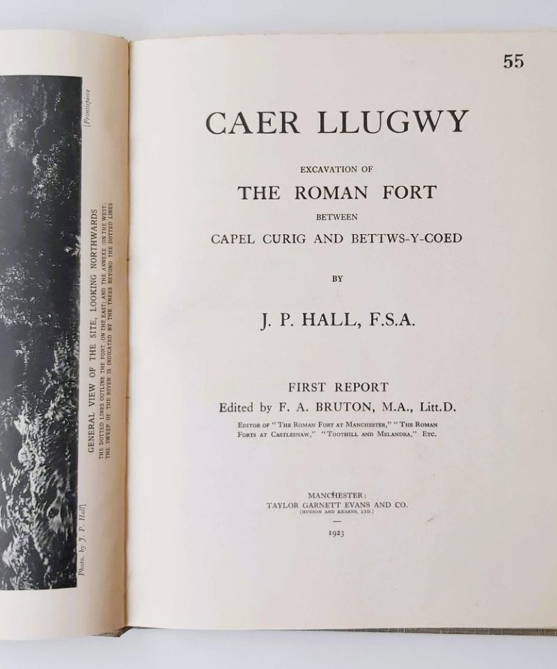

1923 First edition quarto hardback [8], 9-64 pp, 26 illustrations (including 2 large folding maps), title page with no. 55 stamp to top corner. Grey cloth with black lettered spine and front cover. Small crease to front edge otherwise very good condition in slightly browned dustwrapper with wear to top and bottom of spine.
Caer Llugwy, also known as Bryn-y-Gefeiliau (“Hill of the Smithies”), is a Roman auxiliary fort situated on the south bank of the Afon Llugwy, roughly halfway between Capel Curig and Betws-y-Coed. Systematic excavations of the site were primarily conducted between 1920 and 1922 by J. P. Hall and Captain G. H. Higson, which provided the first comprehensive plan of the fort.
Related products


British Topography & Local History
Climbs on Gritstone Volume 3 Kinder, Roches and Northern Areas.


