

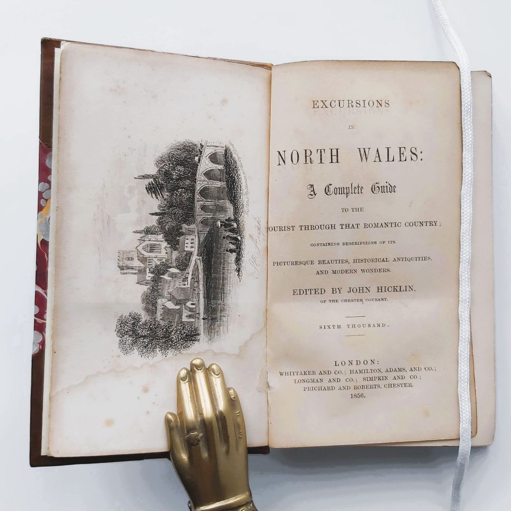

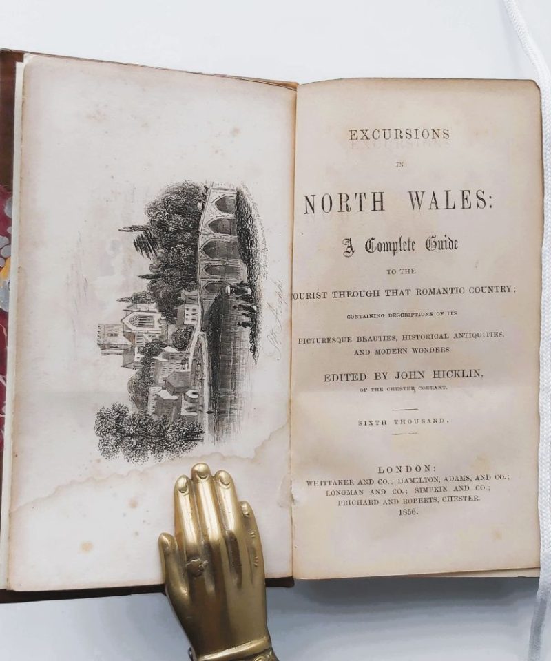
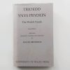
Excursions in North Wales: A Complete Guide to the Tourist Through That Romantic Country;
£60.00
Containing Descriptions of Its Picturesque Beauties, Historical Antiquities, and Modern Wonder
Appendix. The Britannia Bridge over the Menai Straits.
AUTHOR: Edited by John Hicklin
DATE: 1856 (Sixth Thousand)
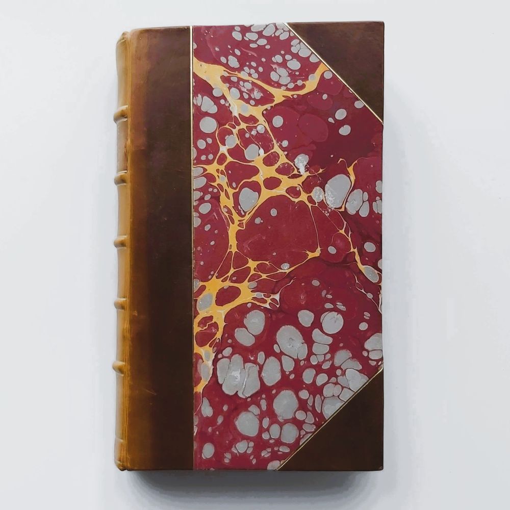
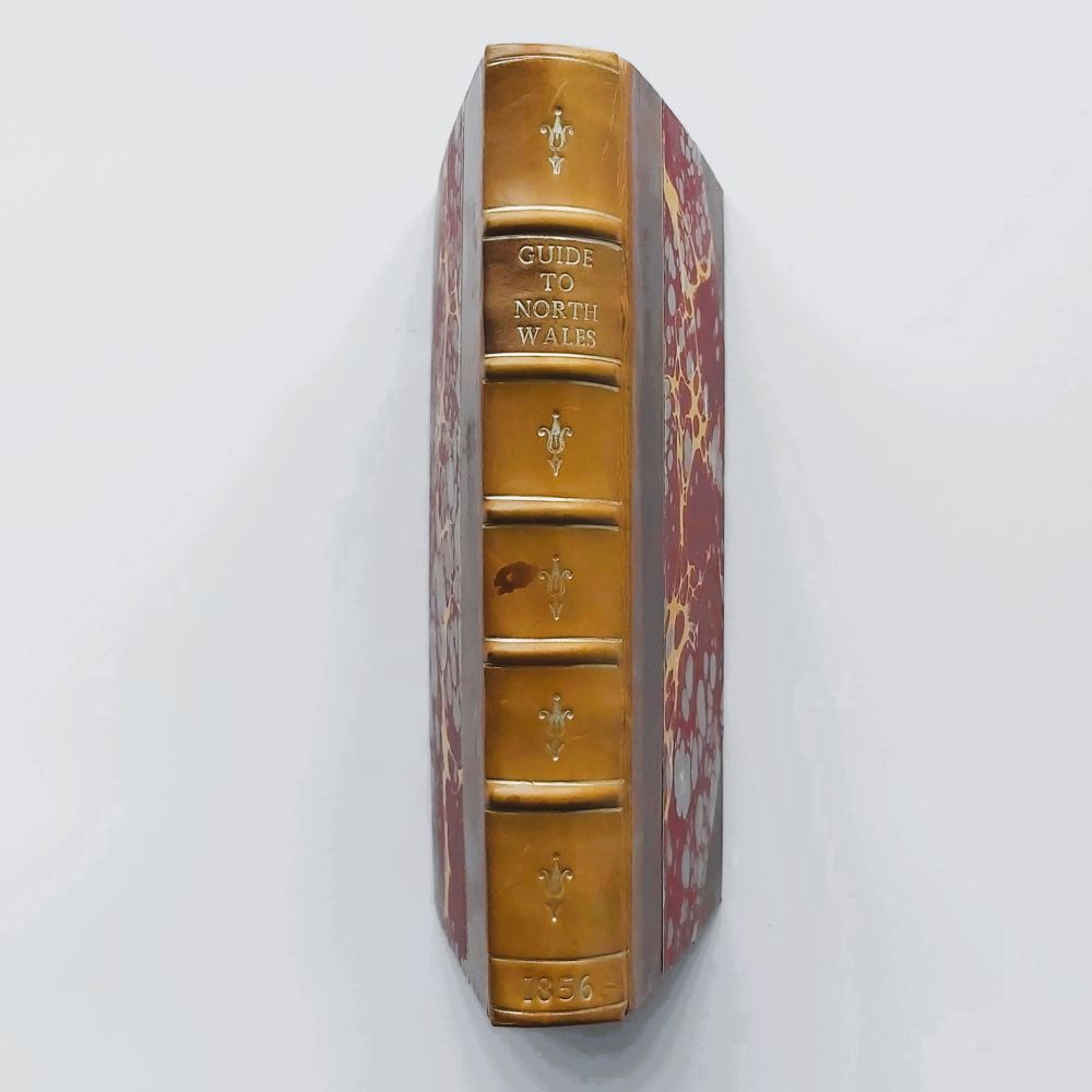
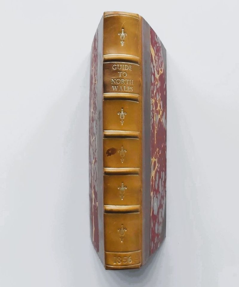
BINDING: Hardback half-leather (tan calf) with marbled paper boards
PUBLISHER: Whittaker and Co.; Hamilton, Adams, and Co.; Longman and Co.; Simpkin and Co.; and Prichard and Roberts, Chester
CONDITION: Very good.
1 in stock
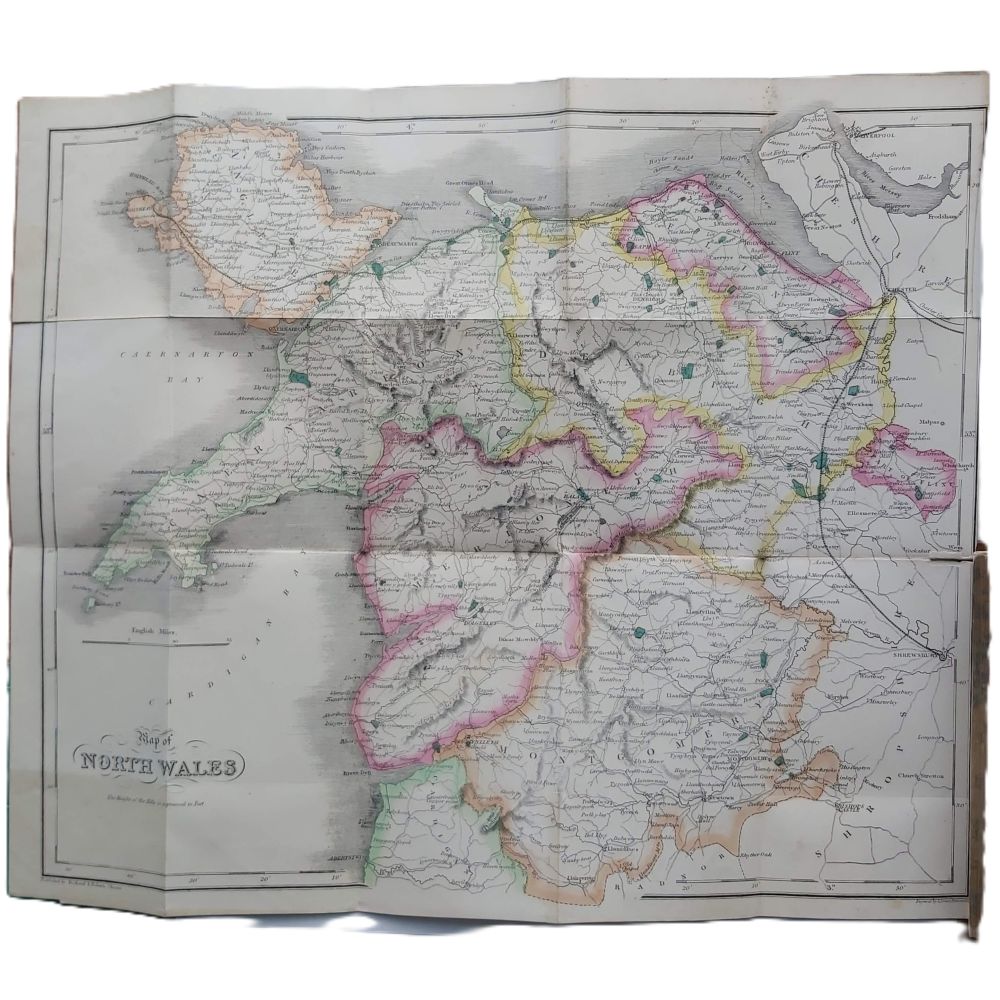
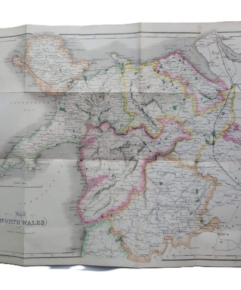
1856 (Sixth Thousand) 12mo 165mm x 105mm pp. ix + 228p frontis and seven steel engraved plates and Distance Table. With large folding hand coloured map tipped on to the front endpaper. Rebound in half-leather (tan calf) with marbled paper boards and gilt rules; spine features five raised bands, gilt fleur-de-lis motifs in compartments, and a gilt title. Title page and frontispiece and several plates show significant tide-marking/water staining to the bottom gutter. General light foxing throughout. The folding map is remarkably crisp with vivid colouring.
A beautifully bound 1856 Victorian guide to the landscapes and antiquities of North Wales, complete with a vivid hand-coloured folding map. It chronicles the region’s natural wonders and historic landmarks through the eyes of a mid-nineteenth-century tourist.
Related products

Antiquarian & Unusual
The Moon-Voyage. Containing “From the Earth to the Moon,” and “Round the Moon.” – Jules Verne


Antiquarian & Unusual