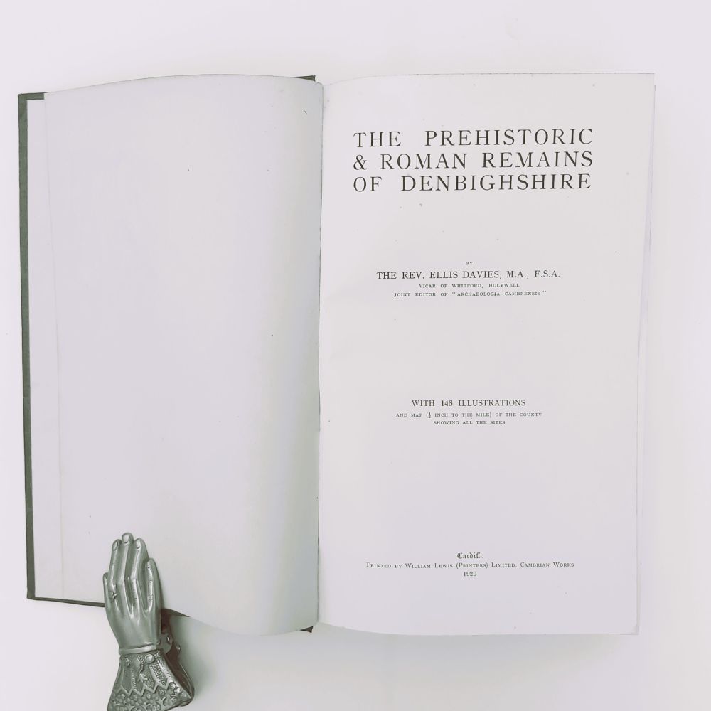
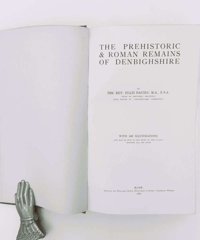
The Prehistoric & Roman Remains of Denbighshire
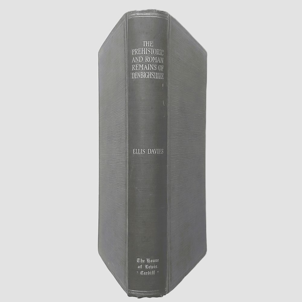
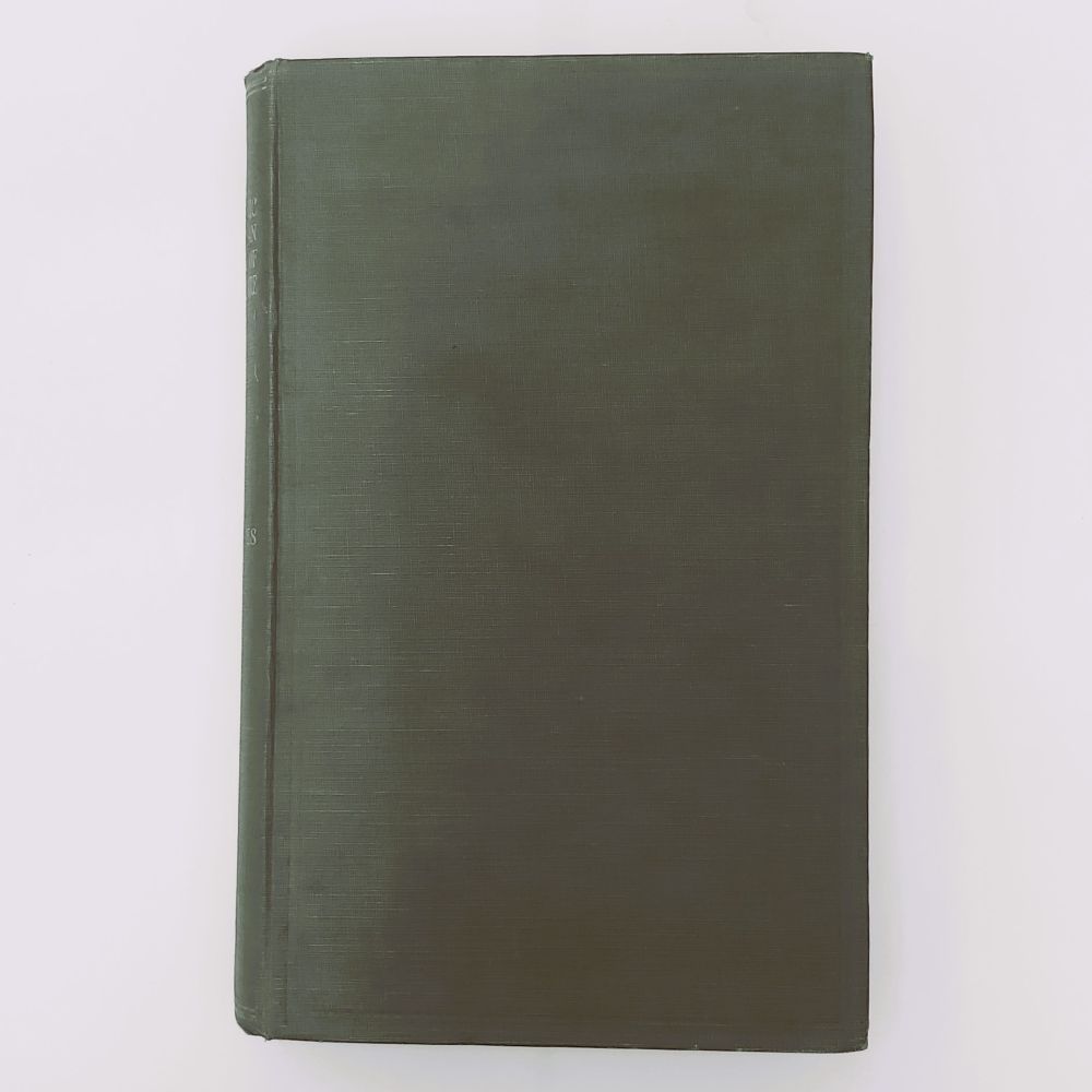
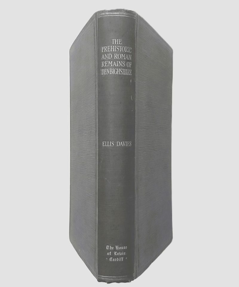
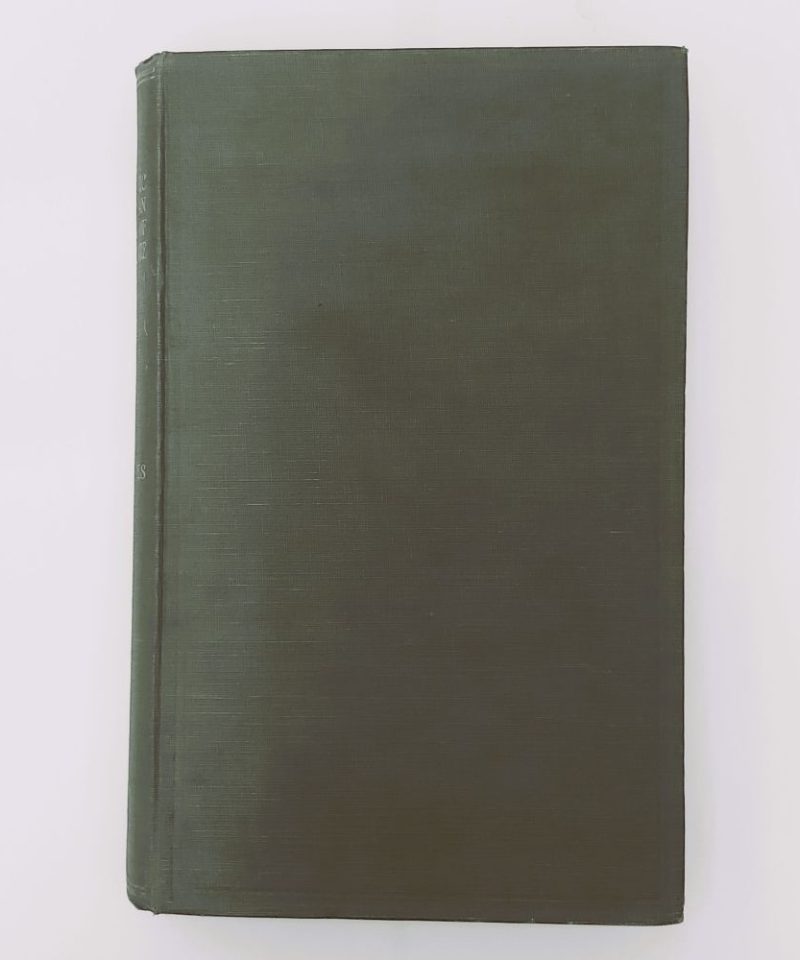
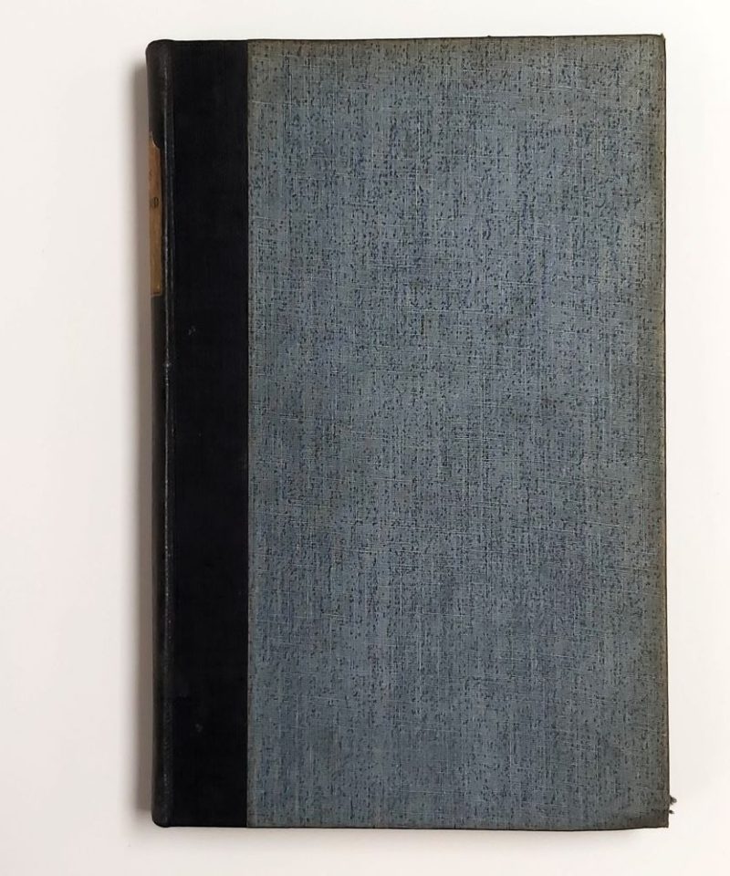
By The Rev. Ellis Davies, 1929 First Edition Large 8vo 426 pp (comprising text, multi-column parish lists, and index) 146 illustrations and a large folding map of the county printed by G.W. Bacon & Co. Ltd. Original publisher’s ribbed dark green cloth with silver-stamped or light gilt-stamped typography to the spine.
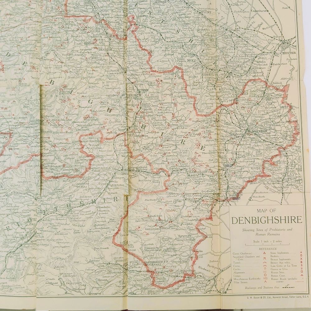
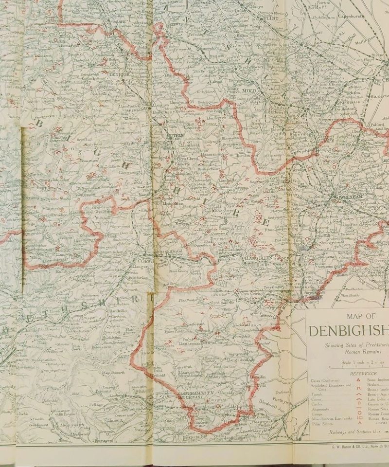
Condition: Good to Very Good. The original dark green cloth binding remains structurally firm with straight joints, though the outer panels show light handling smudges and faint surface wear. The spine lettering remains clean and entirely legible with slight softening at the head and tail. Internally, the text block is square, secure, and clean. The large folding map (in poor condition) inserted at the rear is showing creasing from folding along its original lines, and has tares repaired in the past with sellotape. Pages are free from foxing or ink annotations.
Book Content Summary
The book is bound in the publisher’s original deep green ribbed cloth. The internal leaves are printed on a durable, smooth wove paper stock that remains crisp, showing a double-column index on page 426 classifying antiquities like tumuli, cinerary urns, and Roman coins. A key feature is a detailed, multi-folded map of Denbighshire scaled at half an inch to the mile, compiled by G.W. Bacon & Co. Ltd., which uses custom red symbols to mark caves, sepulchral chambers, cairns, and Roman roads.
Written by the Vicar of Whitford and joint editor of Archaeologia Cambrensis, this comprehensive archeological inventory catalogs every known ancient site across Denbighshire. The text is structurally organized “According to Parishes,” alphabetically tracking discoveries from Aberenbury Fawr and Abergele to Bryn Eglwys. Davies incorporates exact field notes, discovery letters, dimension measurements, and local histories for prehistoric stone celts, Bronze Age leaf-shaped swords, Roman coins, and earthwork camps.
A scarce 1929 first edition gazetteer documenting the prehistoric, Bronze Age, and Roman archaeological sites of Denbighshire. Organized systematically by parish, it includes 146 illustrations and an intricate, multi-folding site map.
Related products


British Topography & Local History
Climbs on Gritstone Volume 3 Kinder, Roches and Northern Areas.
Antiquarian & Unusual
Stratford-upon-Avon from ‘The Sketch Book’ of Washington Irving. Limited Edition