

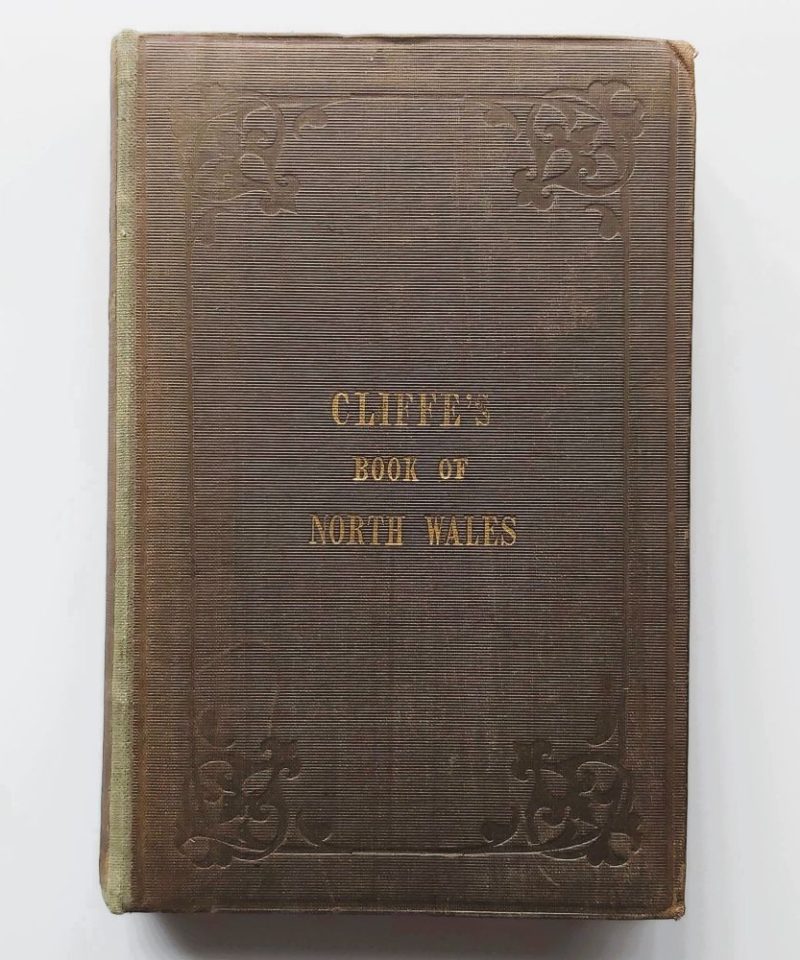
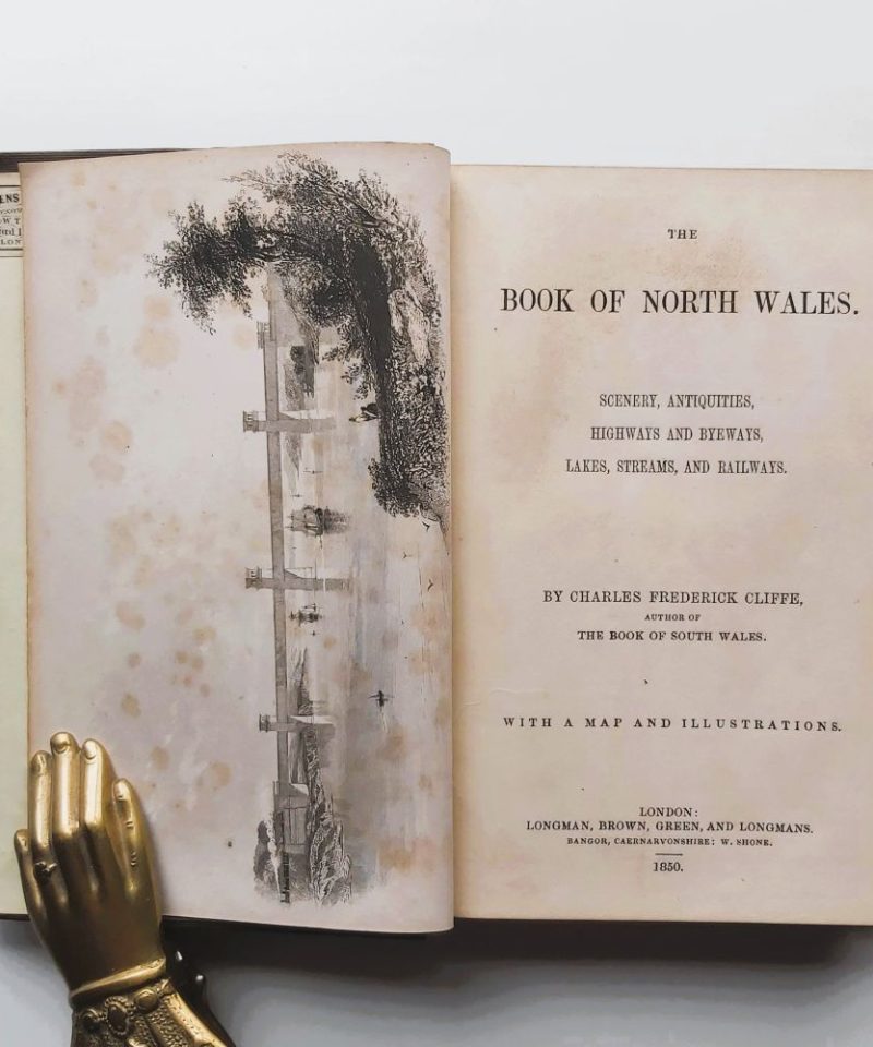
The Book of North Wales:
£40.00
Scenery, Antiquities, Highways and Byeways, Lakes, Streams, and Railways.
AUTHOR: Charles Frederick Cliffe
DATE: 1850 First Edition
BINDING: Hardback Original publisher's brown embossed cloth
PUBLISHER: London: Longman, Brown, Green, and Longmans; Bangor: W. Shone
CONDITION: Very good.
1 in stock
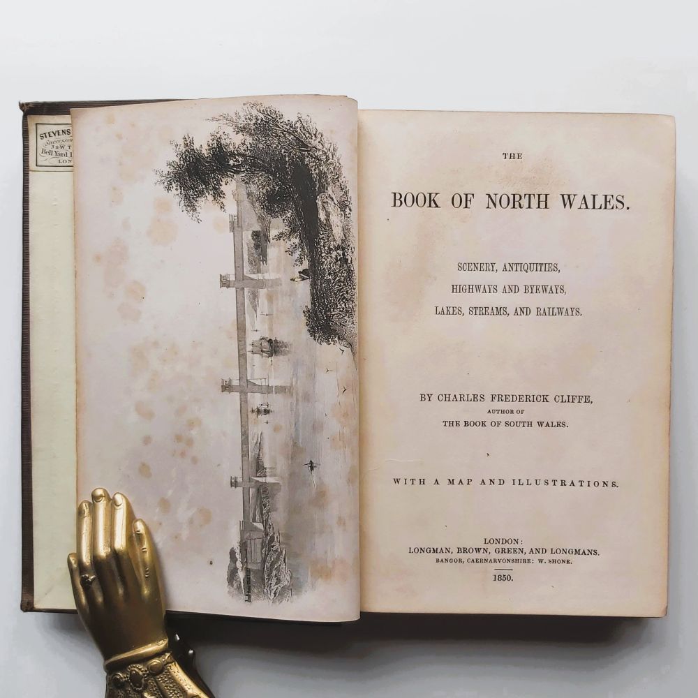
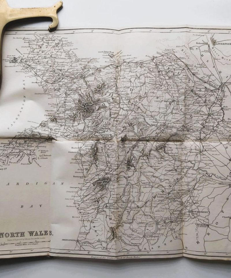
1850 First Edition Hardback small 8vo 302 pp, 2 B&W plates, 1 map (folding) tipped onto rear endpaper, Text illustrations. Original publisher’s brown cloth with blind-stamped decorative borders and gilt-stamped title to front board and spine, the book has been rebacked with original spine laid down. Corners bumped, some foxing to frontis otherwise very good.
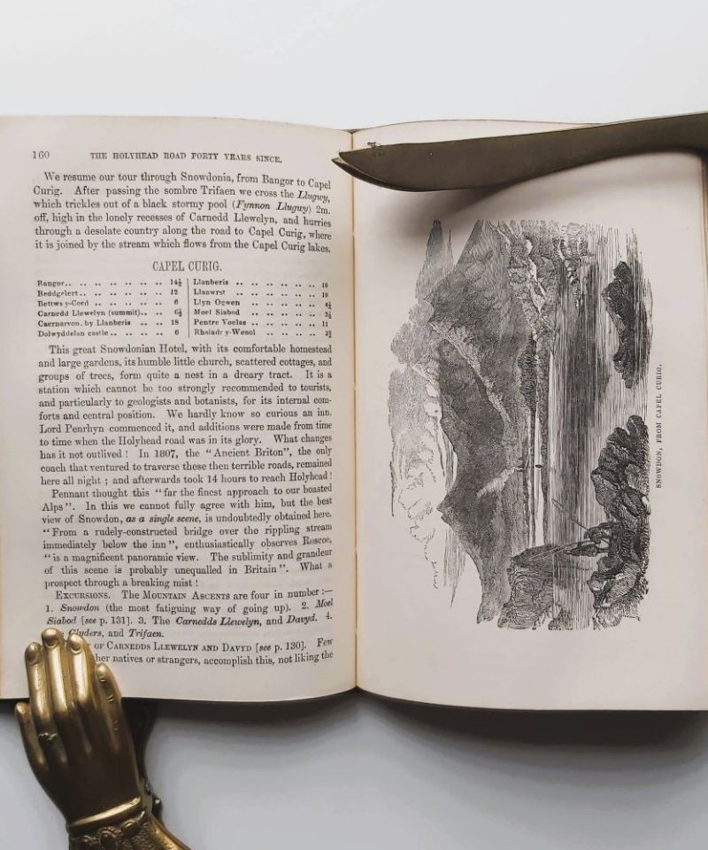
The text serves as a technical survey of North Wales, categorizing information by natural features, archaeological antiquities, and modern infrastructure. It provides detailed descriptions of the regional “Highways and Byeways,” as well as the developing railway networks of the mid-19th century. The work includes specific data on mountain ascents, lake depths, and local river systems, supported by a comprehensive index that references over 300 regional locations and landmarks.
Related products


