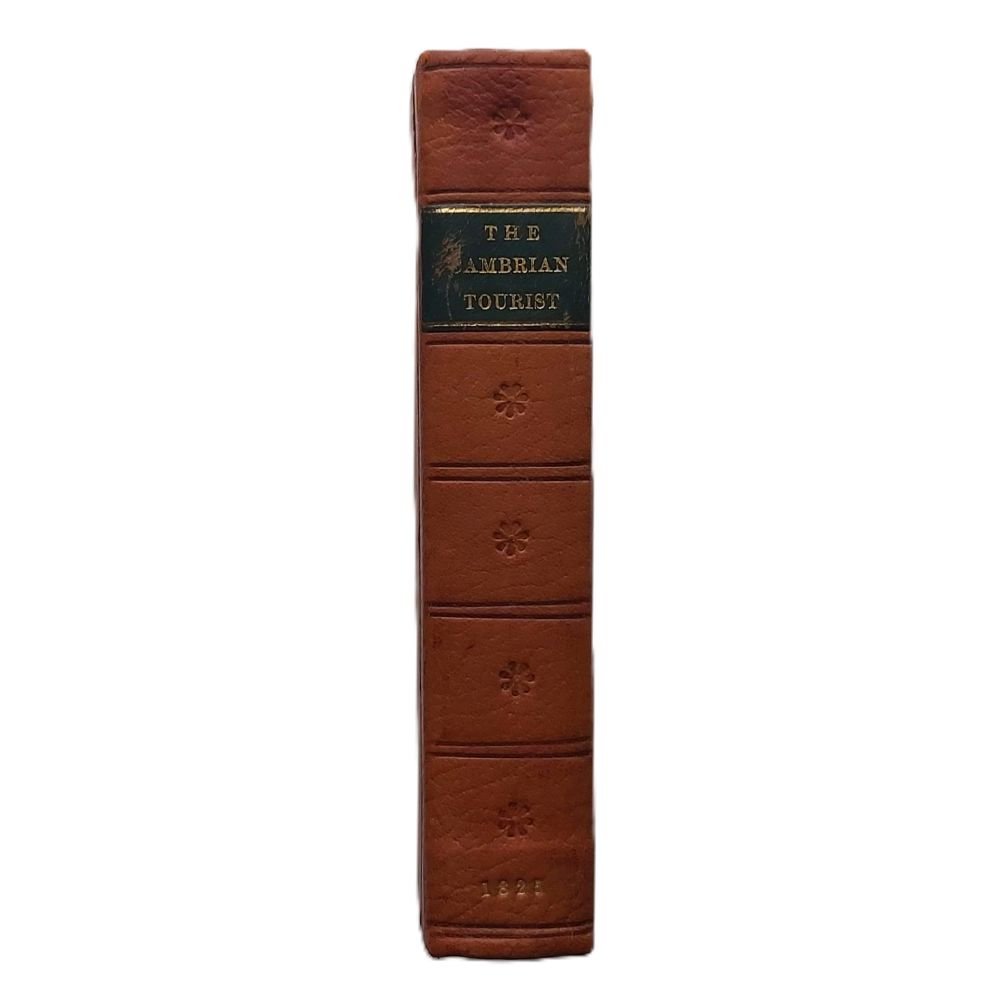
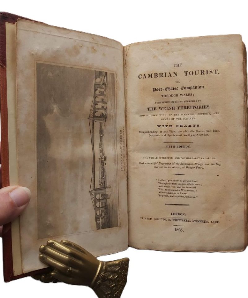
The Cambrian Tourist; or, Post-Chaise Companion through Wales
£45.00
CONTAINING CURSORY SKETCHES OF THE WELSH TERRITORIES, AND A DESCRIPTION OF THE MANNERS, CUSTOMS, AND GAMES OF THE NATIVES.
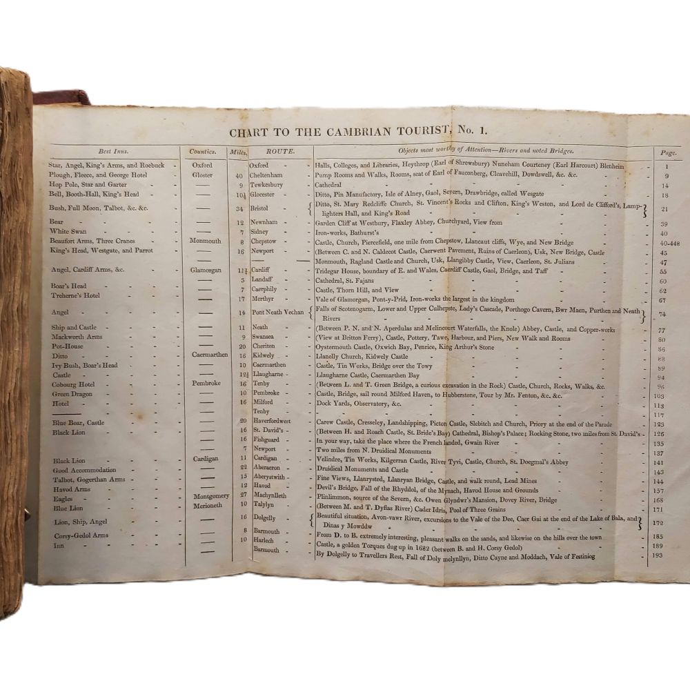
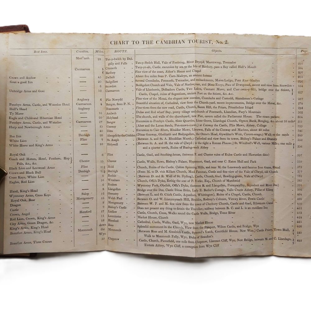
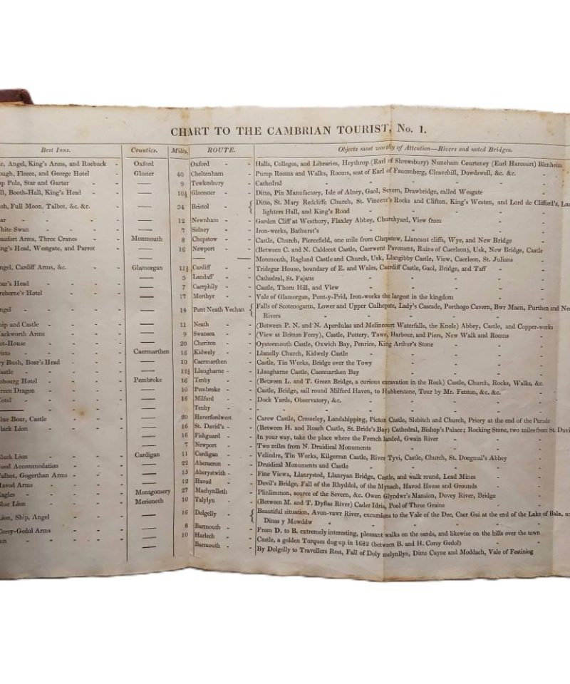
with CHARTS – Comprehending, …. the advisable Route, best Inns, Distances, and objects most worthy of Atttention.
AUTHOR: [CLIFF? of Worcester]
DATE: 1825 5th edition
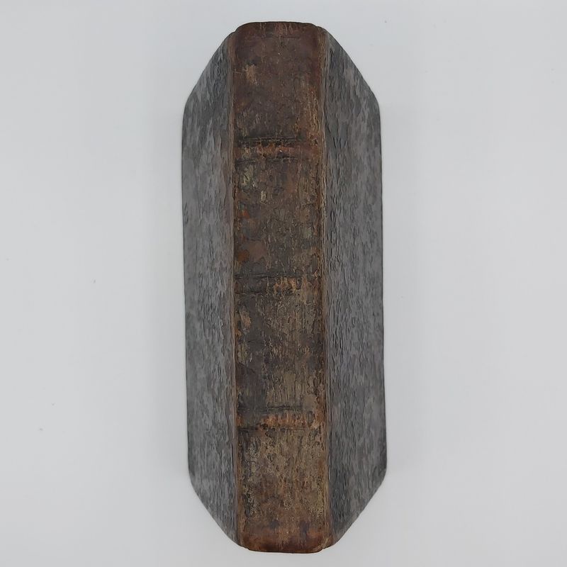
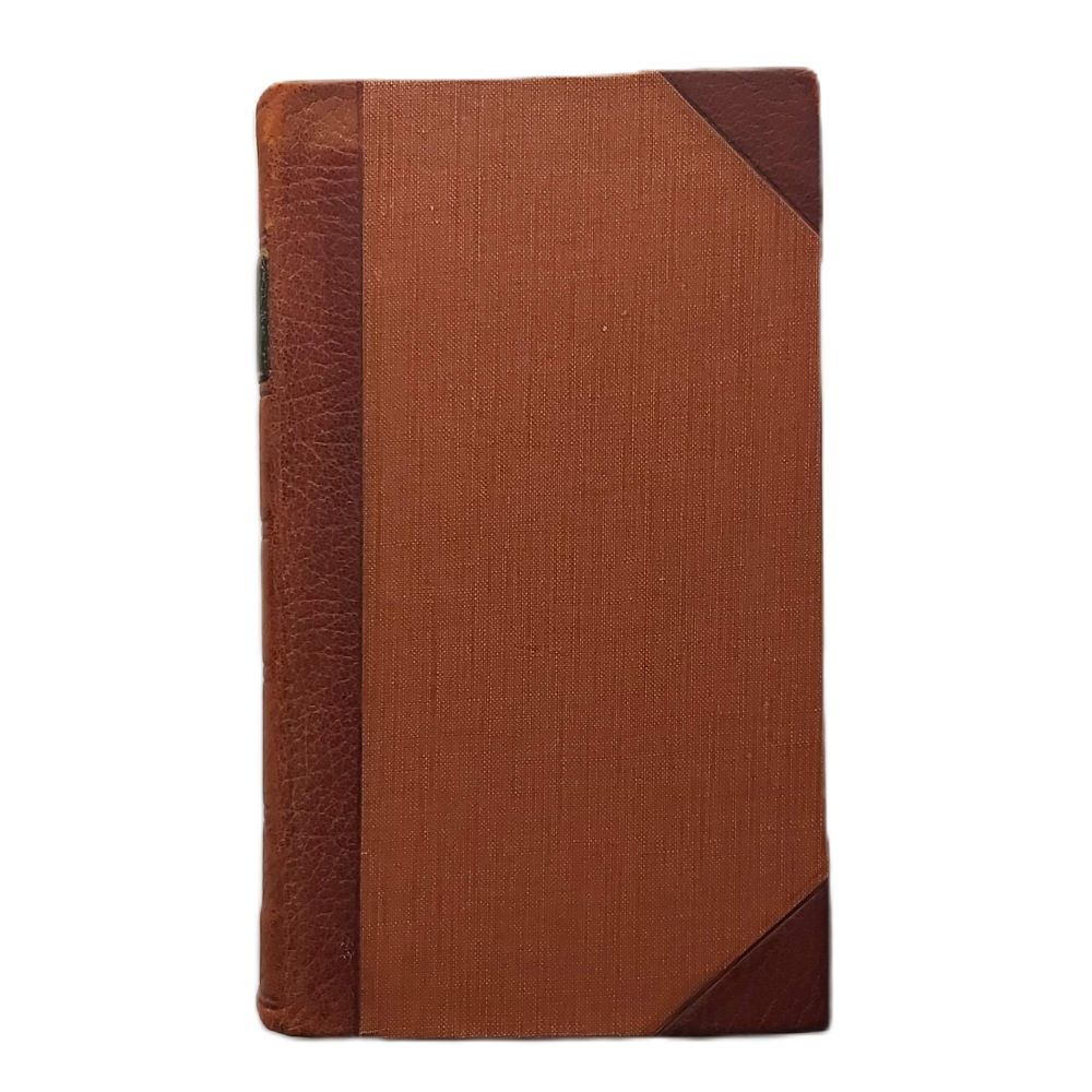
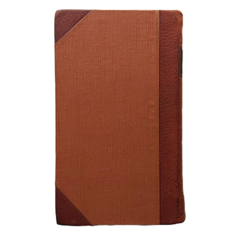
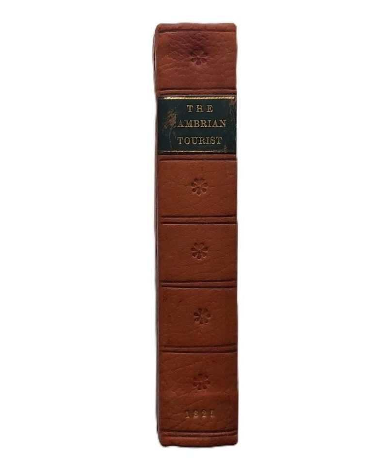
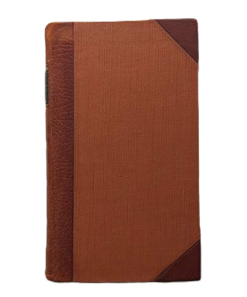
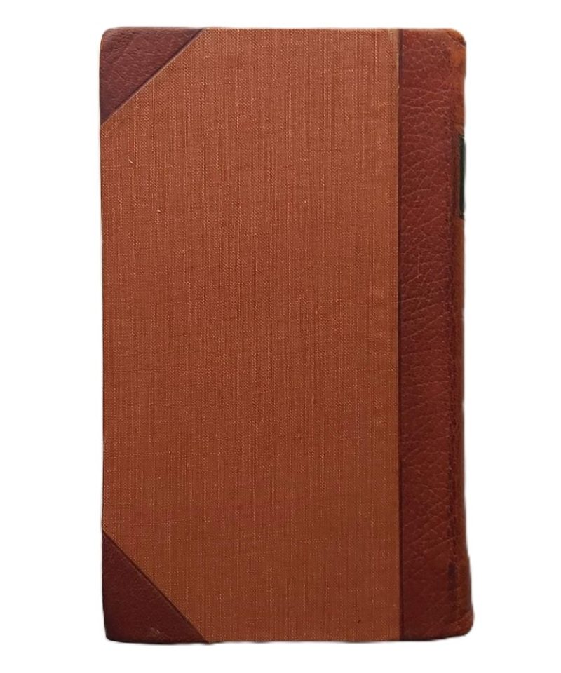
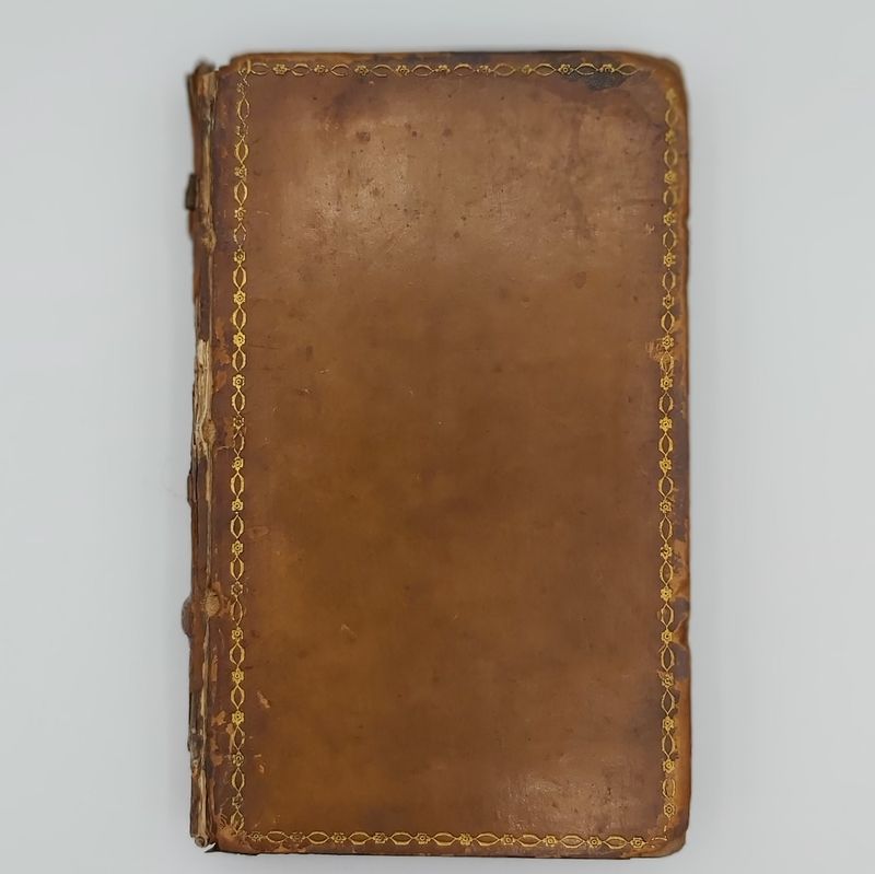
BINDING: Hardback Half morocco with brown cloth boards.
PUBLISHER: G. and W. B. Whittaker, London
CONDITION: Very good.
1 in stock
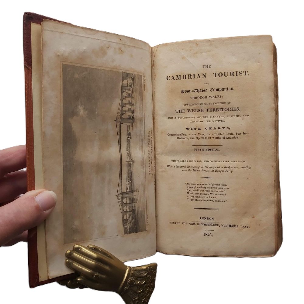
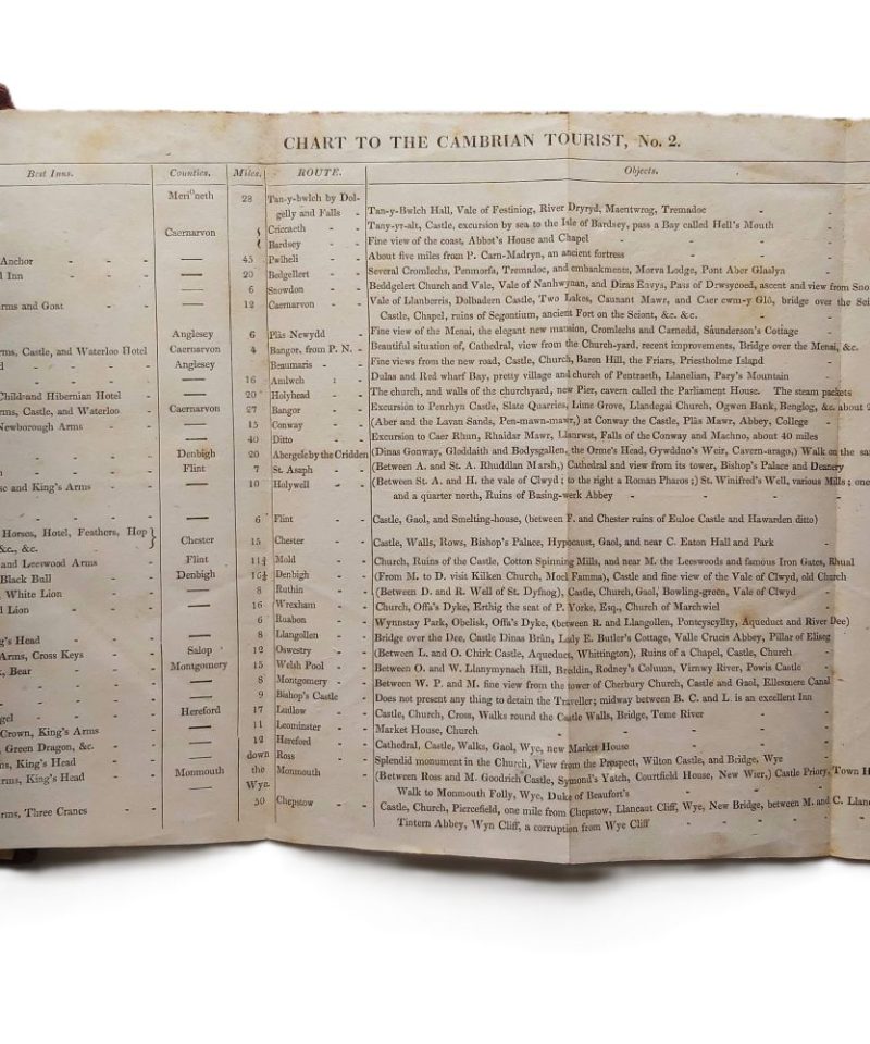
1825 5th edition ‘The whole corrected and considerably enlarged’. Hardback 8vo xv, 467pp, 1 engraved plate of Menai Suspension Bridge + 2 folding route charts. Half morocco with brown cloth boards; spine features gilt-ruled raised bands and a leather title label with some wear. Some foxing to prelims affecting plate.
The text describes various travel routes through the North and South Wales counties, intended for carriage-borne tourists. It provides documented itineraries, including the locations of the “best inns” and distances between postal stations. The content focuses on the topography and antiquities of the region, supported by the folding charts which serve as a technical reference for the advisable routes of the period.
Related products

Antiquarian & Unusual
A Philosophical Inquiry into the Origin of our Ideas of the Sublime and Beautiful -Burke – 1810


Antiquarian & Unusual
Diary of Walter Yonge, Justice of the Peace, and M.P. for Honiton – Camden Society – 1848


Antiquarian & Unusual
The Moon-Voyage. Containing “From the Earth to the Moon,” and “Round the Moon.” – Jules Verne