

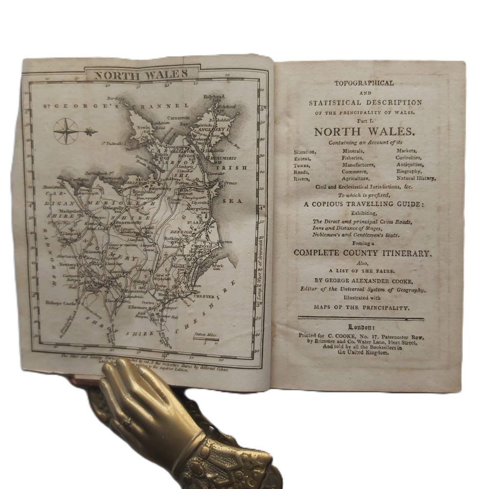
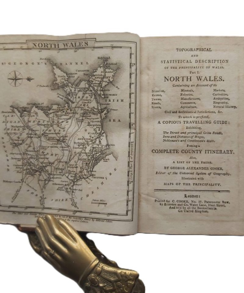
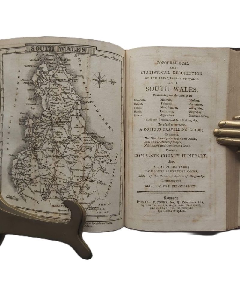
TOPOGRAPHICAL AND STATISTICAL DESCRIPTION OF THE PRINCIPALITY OF WALES. Part I: North Wales. Part II: South Wales
£95.00
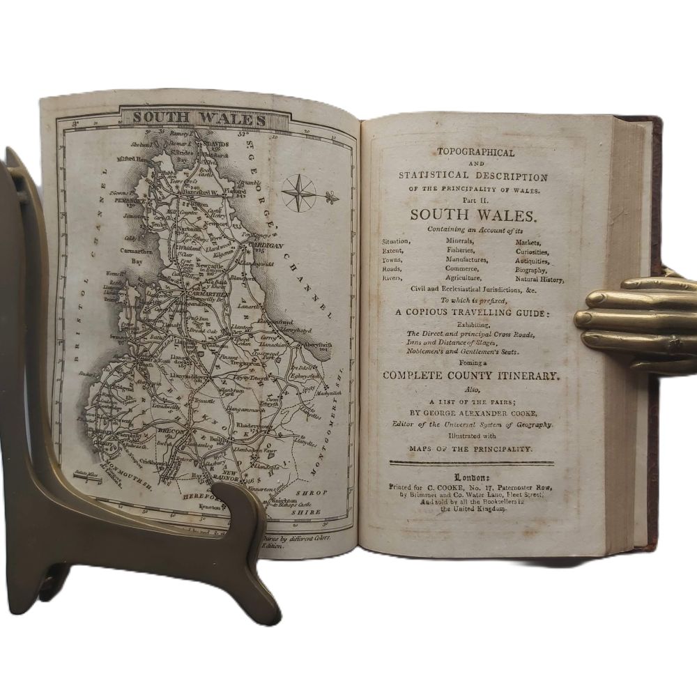
Containing an Account of its Situation, Extent, Towns, Roads, Rivers, Minerals, Fisheries, Manufactures, Commerce, Agriculture, Markets, Curiosities, Antiquities, Biography, Natural History, Civil and Ecclesiastical Jurisdictions, &c. To which is prefixed, A Copius Travelling Guide: Exhibiting, the Direct and principal Cross Roads, Inns and Distance of Stages, Noblemen’s and Gentlemen’s Seats.
Forming a Complete County Itinerary, also a List of the Fairs.
AUTHOR: George Alexander Cooke
DATE: c 1810
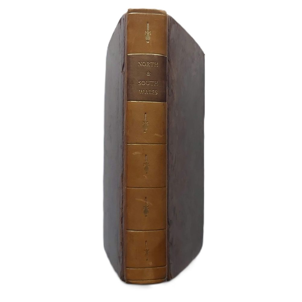
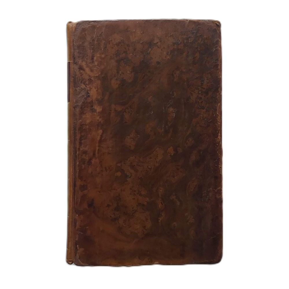
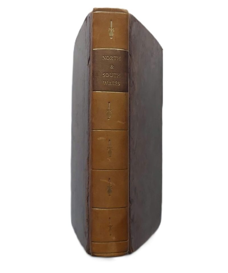
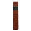
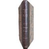
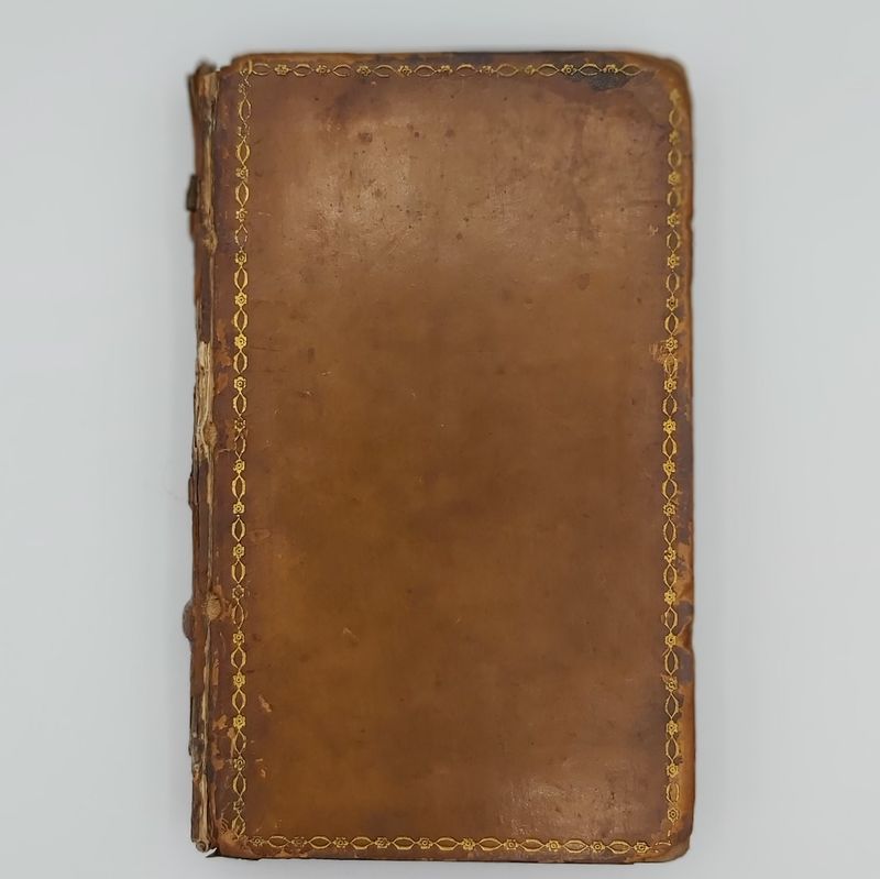
BINDING: Hardback Full leather rebacked with leather spine
PUBLISHER: Printed for C. Cooke,
CONDITION: Very good.
1 in stock
c 1810 First Edition. Hardback 12mo. Part I (North Wales): 178 pp; Part II (South Wales): 142 pp (plus indices). 2 engraved folding maps (North and South Wales). Full leather a bit rubbed, rebacked. Some foxing is present throughout, particularly on the title pages and maps.
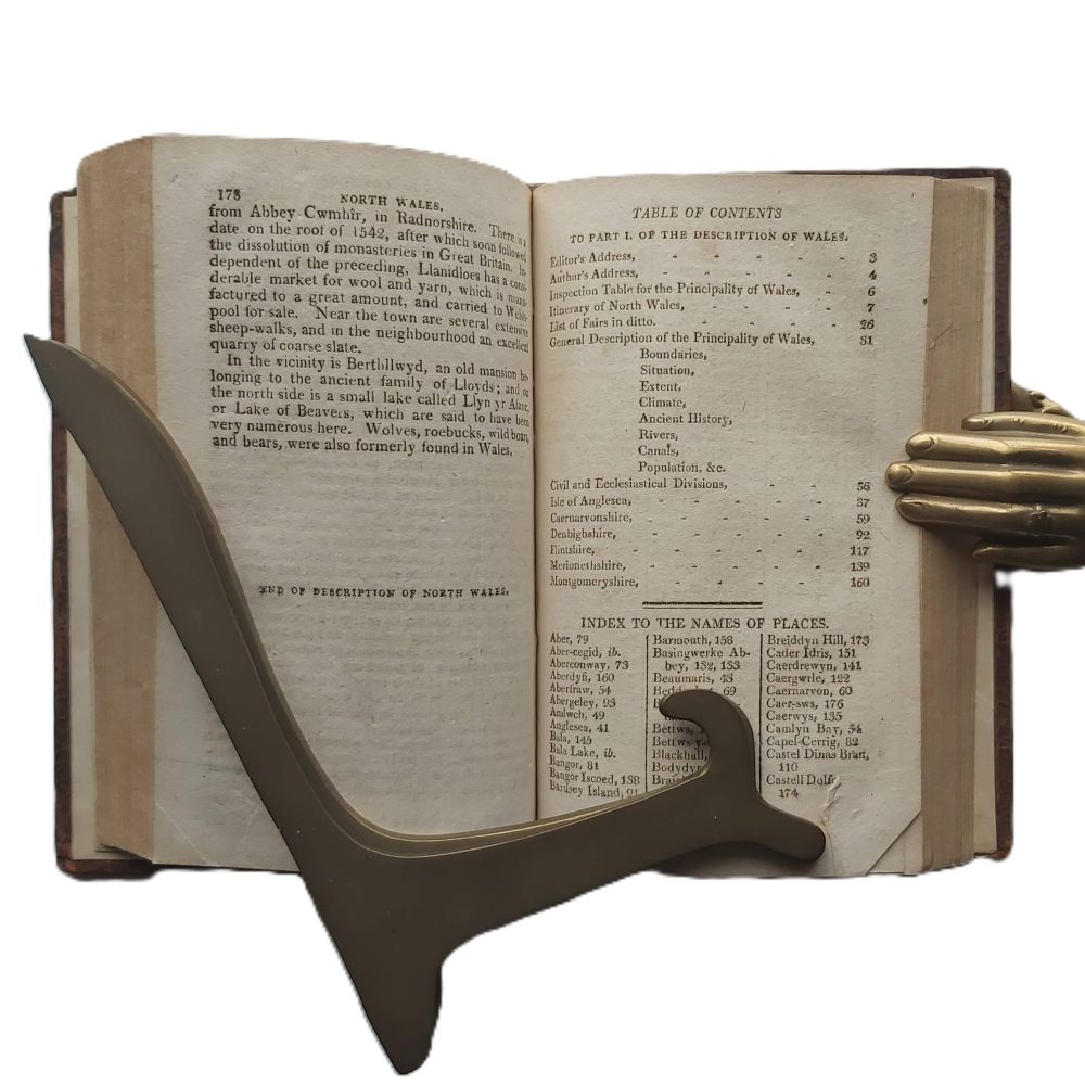
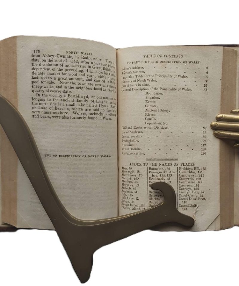
The table of contents for each section is located at the conclusion of the respective topographical descriptions.
An early 19th-century topographical and statistical survey of Wales, comprising both North and South Wales parts in one volume. Includes two engraved folding maps and detailed itineraries for contemporary travellers.
Related products


Antiquarian & Unusual
A Philosophical Inquiry into the Origin of our Ideas of the Sublime and Beautiful -Burke – 1810


Antiquarian & Unusual
The Moon-Voyage. Containing “From the Earth to the Moon,” and “Round the Moon.” – Jules Verne

