

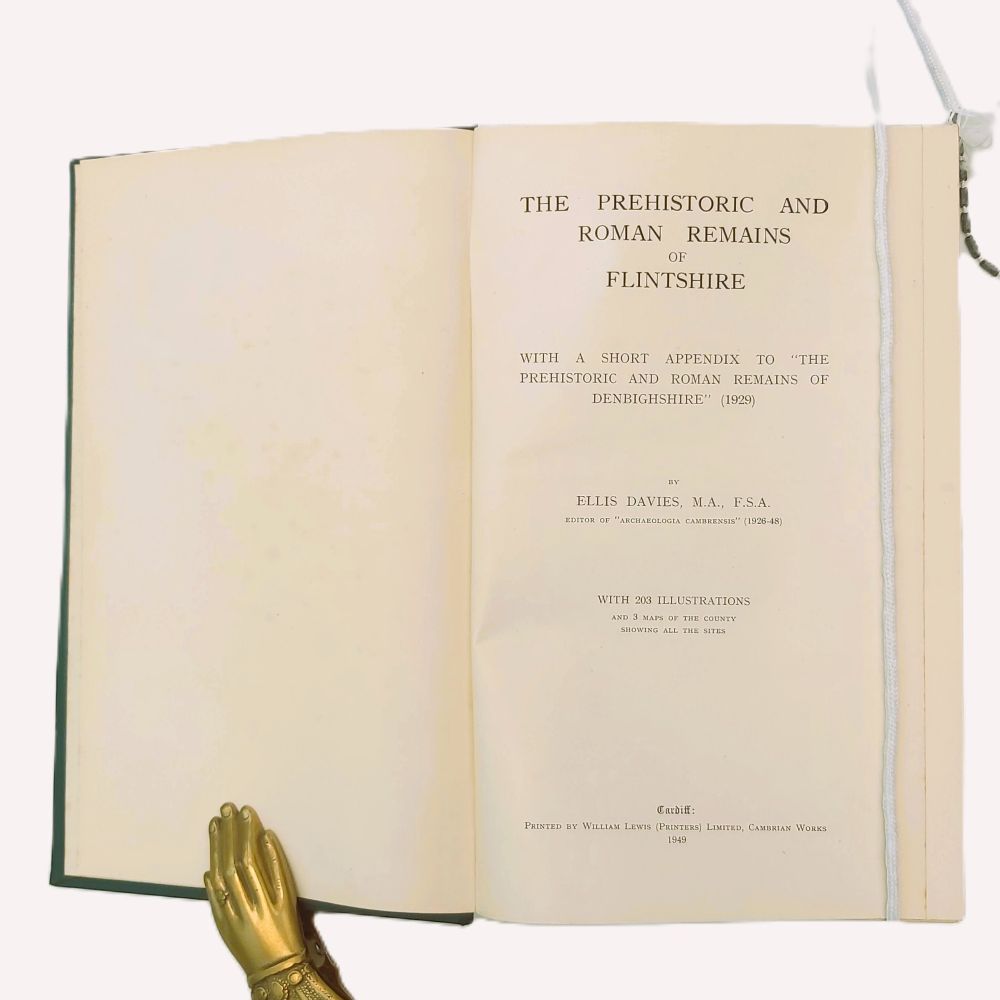
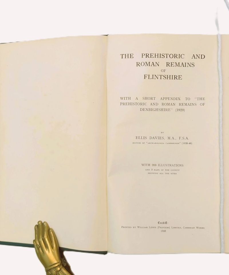
The Prehistoric and Roman Remains of Flintshire

£40.00
With a Short Appendix to “The Prehistoric and Roman Remains of Denbighshire” (1929)
AUTHOR: The Rev. Ellis Davies,
DATE: 1949 First Edition
BINDING: Hardback green cloth boards
PUBLISHER: Printed by William Lewis (Printers) Limited, Cambrian Works, Cardiff
CONDITION: Very good.
1 in stock
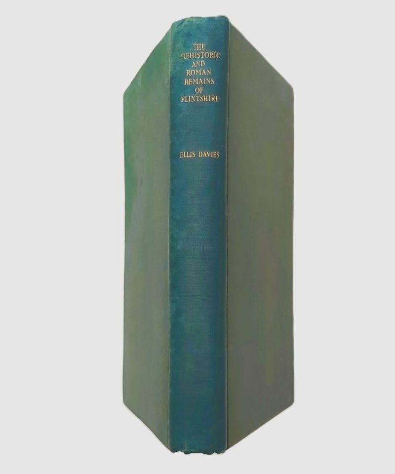
The Prehistoric and Roman Remains of Flintshire.
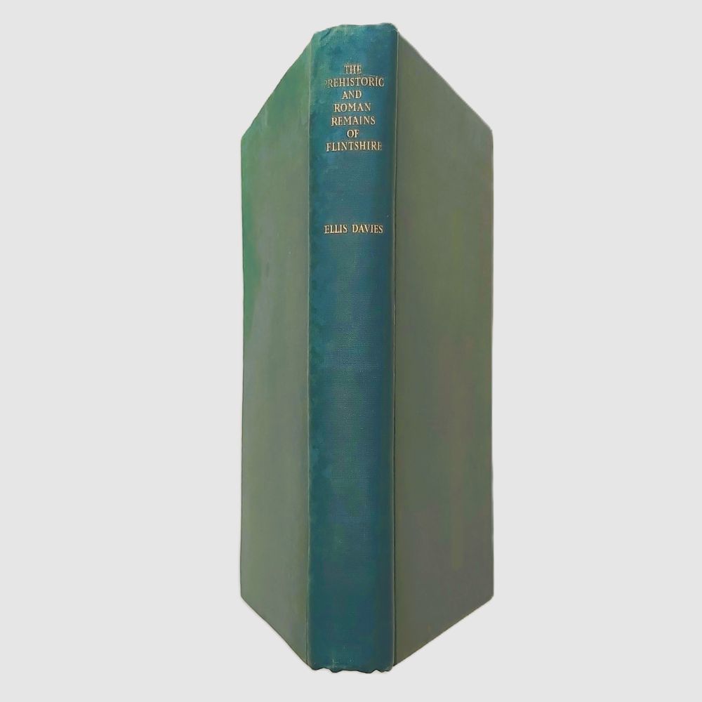
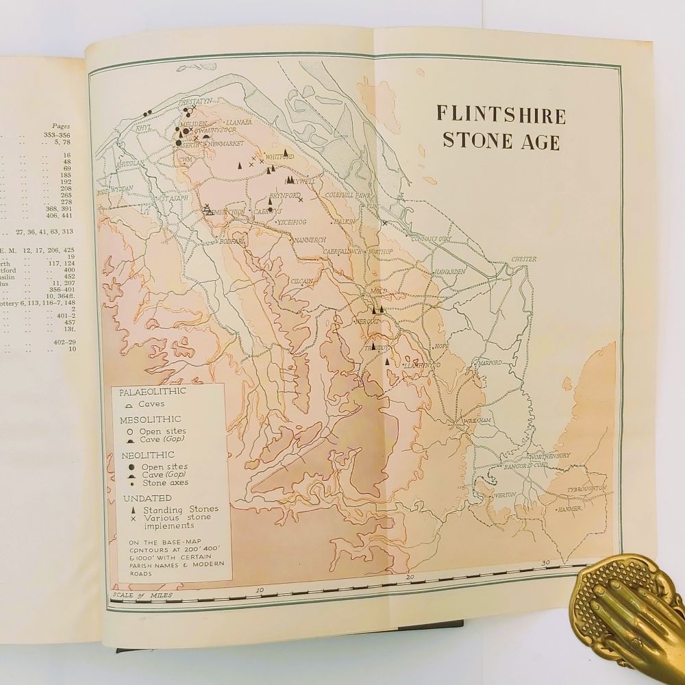
1949 First Edition Hardback 8vo 464 pp (comprising text, multi-column illustration lists, parish lists, and index), 203 illustrations and 3 separate multi-folding maps of the county showing all recorded archaeological sites. Original publisher’s smooth dark green cloth with gilt-stamped title to spine. The top of the spine and rear cover show damage from water-staining. The folding maps are exceptionally crisp, vibrant, and well-preserved, free from tears or tape repairs. Pages are clean without foxing or ink inscriptions.
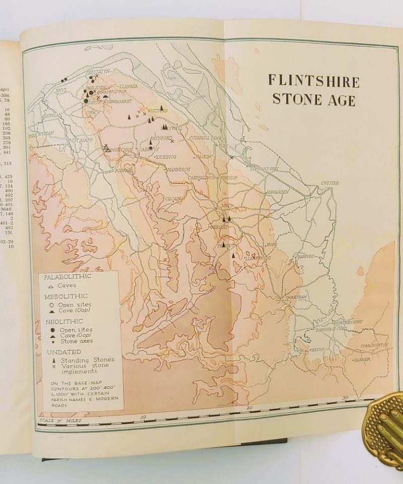
A double-column index on page 464 catalogs artifacts including prehistoric tumuli, urns, and Roman settlements. The book features three large, multi-folding color maps compiled with geographical contours at 200, 400, and 1000 feet, featuring dedicated symbol keys for Palaeolithic caves, Mesolithic open sites, Neolithic stone axes, and undated standing stones.
Written twenty years after his landmark survey of Denbighshire, this 1949 volume by the editor of Archaeologia Cambrensis serves as the definitive archaeological inventory for Flintshire. The monograph contains a meticulous parish-by-parish breakdown of regional excavations, weapon caches, and Roman roads. It details 203 individual photographic figures and drawings, including structural diagrams of the Bryn Siôn gold torc, the Ysceifiog pebble perforations, and the sepulchral urns excavated at Rhydwen. The work additionally includes a dedicated short appendix updating his 1929 Denbighshire gazetteer with newer discoveries.
Related products


Antiquarian & Unusual
Diary of Walter Yonge, Justice of the Peace, and M.P. for Honiton – Camden Society – 1848

