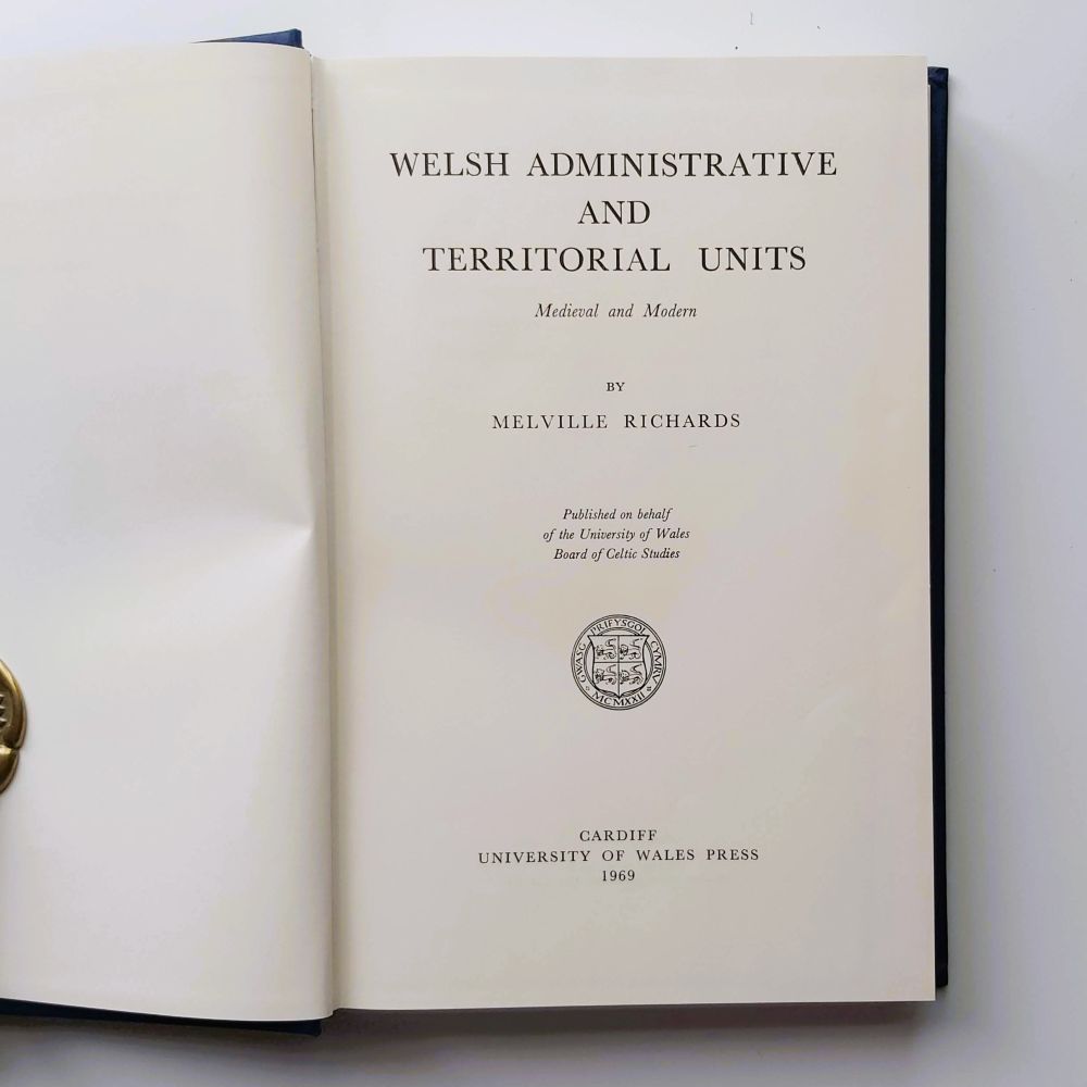
Welsh Administrative and Territorial Units: Medieval and Modern
1969 First Edition Hardback 8vo 324 pp including 104 b/w maps. Original publisher’s deep blue cloth with gilt-stamped typography to the spine. In pale blue/grey dustwrapper showing only minimal edge-wear and minor surface shelf-dusting.
Published on behalf of the Board of Celtic Studies of the University of Wales, this volume is the definitive historical gazetteer mapping the complex grid of both medieval and modern administrative boundaries across Wales. Professor Melville Richards compiles an exhaustive alphabetical index of parishes, townships, cantrefs, commotes, and lordships. It cross-references structural shifts over centuries, demonstrating how medieval frameworks (like the cantref of Tegeingl or the commotes of Dogfeiling and Ceinmeirch) transitioned into modern civil counties.
A 1969 first edition monumental reference gazetteer compiling the medieval and modern administrative, ecclesiastical, and civil territorial units of Wales. Includes specialized outline maps illustrating cantref and commote boundaries.
Related products